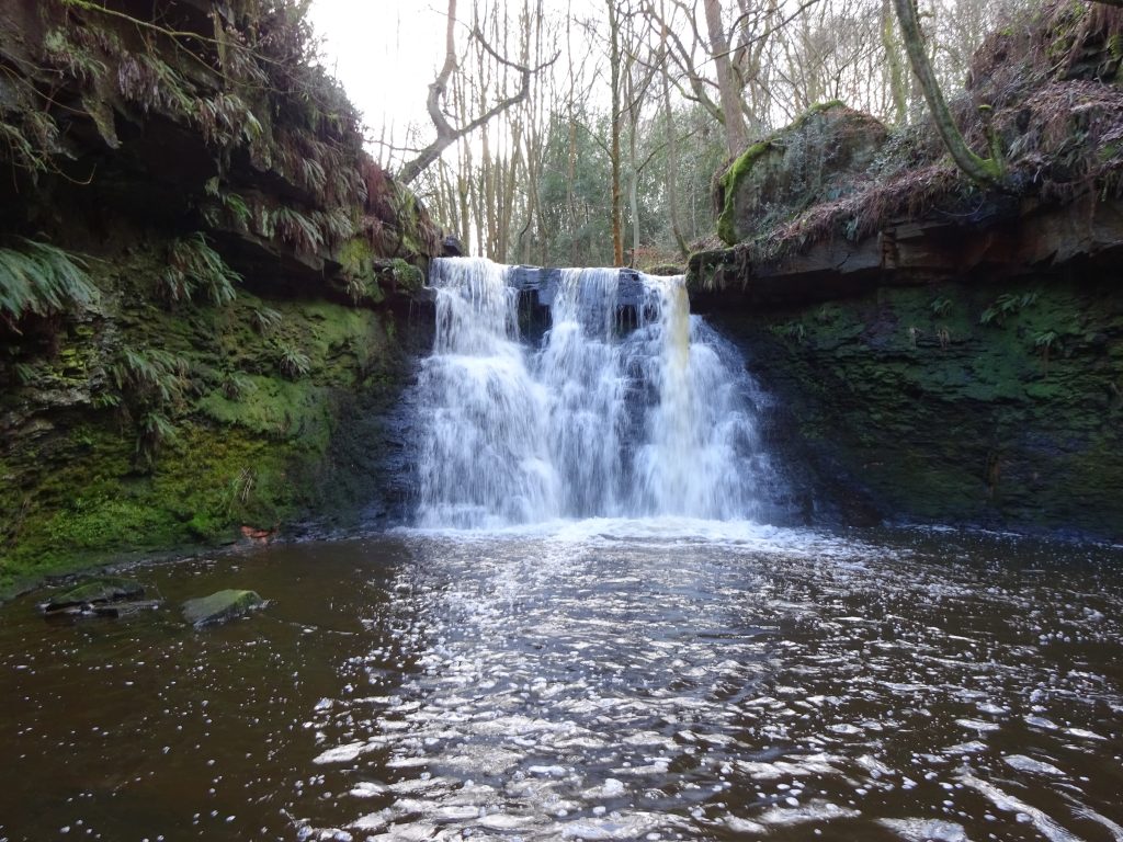
The doddle is a challenge walk and trail running event that revives the Harden Hard’un. It follows almost the same 27 mile route but starts and finishes in the village of Denholme three miles from Harden and seven miles west of Bradford. Half of the route is on open moorland with outstanding views. It passes Top Withins (Wuthering Heights) and other well known beauty spots in the Bronte Country. Walkers and runners are welcome.
All proceeds from this event will go directly to Mpika Village of Hope, a registered charity which cares for orphaned children in Zambia. This charity has very strong environmental and humanitarian ethics. Please take the time to read further information on our web site www.mpika.org or call in at our shop in Queensbury.
Walking distances are 27 miles, 21 miles or 17 miles. The time limit for all distances is 11.5 hours.
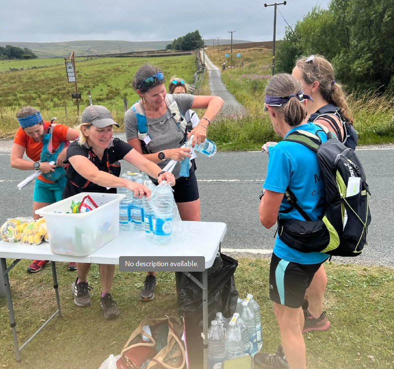
There will be six checkpoints with good refreshments spaced throughout the route.
PLEASE READ CAREFULLY! More than half of the route lies within the South Pennines Site of Special Scientific Interest. To abide with Natural England regulations we must ask the following:
(1) Unfortunately dogs are not allowed due to nesting birds.
(2) There should be no smoking between Foreside Lane at 2 miles and the Peninstone Checkpoint at 16 miles to avoid fire risk on the moors at this time of year. (e-cigs are fine)
(3) Follow the route description (on route page) carefully or the map and keep to the designated tracks/footpaths.
(4) Avoid all litter and place water cups into the bin bags at the checkpoints (not to be taken away).